Da Nang City in central Vietnam has been struck by the highest number of storms in the country over the past 70 years, according to the Vietnam Maritime Search and Rescue Coordination Center (Vietnam MRCC).
The central coastal city has endured 41 storms, followed by Khanh Hoa Province, located on the south-central coast, with 32 storms, the Vietnam MRCC said in a report in 2019.
On average, these two Vietnamese localities experience one storm directly passing through their area each year.
The Vietnam MRCC utilized data tracked by the U.S. National Oceanic and Atmospheric Administration for more than 70 years since 1945 to monitor storms and tropical depressions making landfall in Vietnam.
|
|
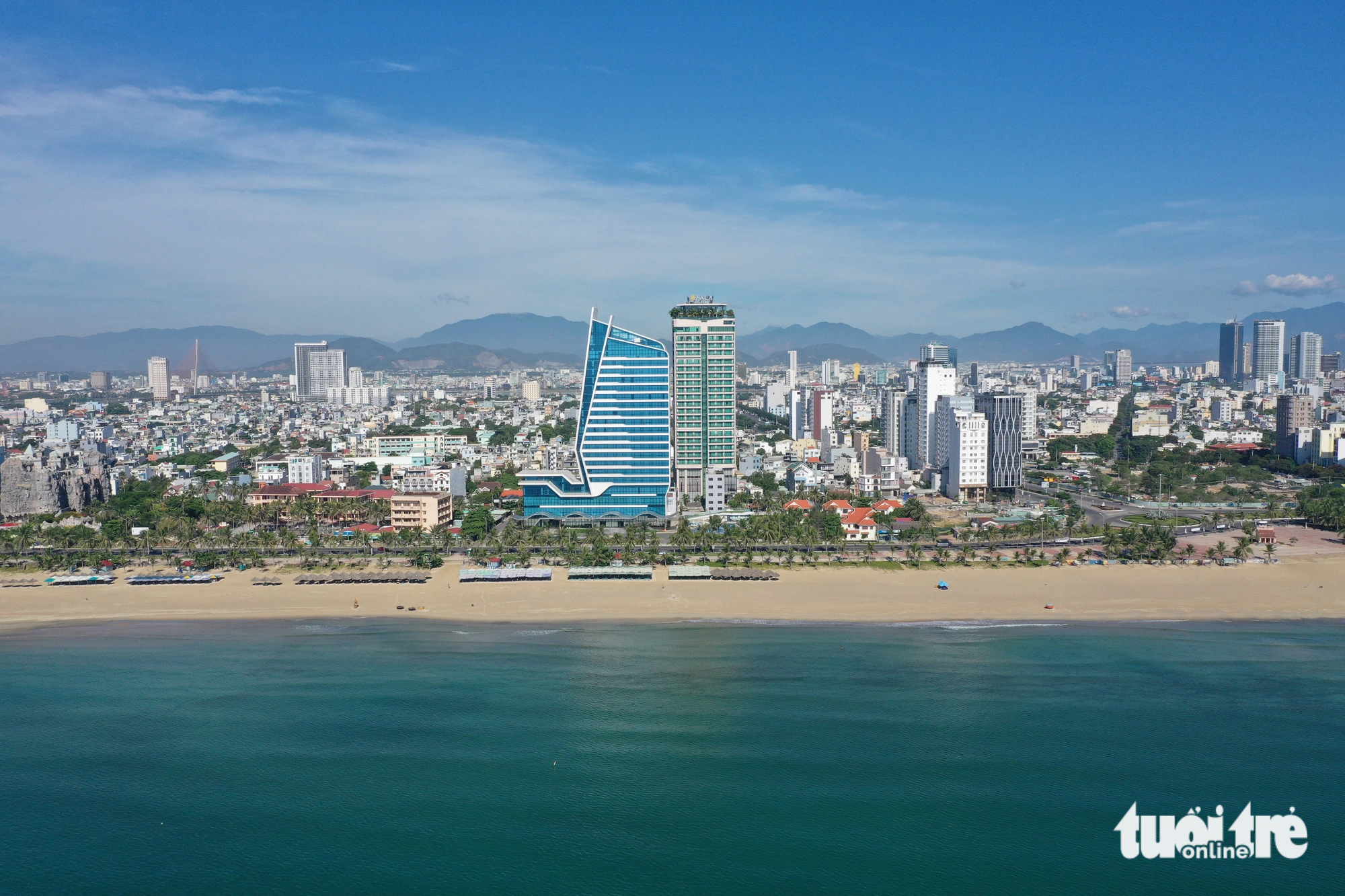
| A bird's-eye view of a beach in Da Nang City, central Vietnam. Photo: Tan Luc / Tuoi Tre |
Since the establishment of the database, over 227,000 storms have occurred in the Asia-Pacific region, with 459 making landfall on the mainland of Vietnam.
As per the evaluation criteria and scope, only storms that made landfall on the mainland of Vietnam are counted, while those that merely entered Vietnamese waters without reaching the mainland are excluded.
Additionally, if a storm passed through a city or province, that locality is considered to have experienced a storm, while neighboring localities affected by the storm are not counted.
The data reflects the quantity of storms and does not consider their intensity.
Like us on Facebook or follow us on Twitter to get the latest news about Vietnam!


